
Territory
Vereto and the Capo di Leuca
An ancient landscape of hills, roads and landing places.
The territory of Vereto and that of the Capo di Leuca preserve the traces of a long history: settlements, roads, cemeteries, harbours and places of worship. Here the landscape is not merely a backdrop, but a source to be read and interpreted.
Telling the story of Vereto means looking at a system: the ancient town on the hill, Patù, San Giovanni Battista, the Centopietre, Campo Re, San Gregorio and Leuca. They are different places, but linked by the same historical geography.
Topographic research and archaeological maps reveal a palimpsest in which every age has left its traces, often reusing earlier materials and routes. DiscoVereto starts from this complexity to decipher the ancient landscape in all its historical depth.
The site of Vereto
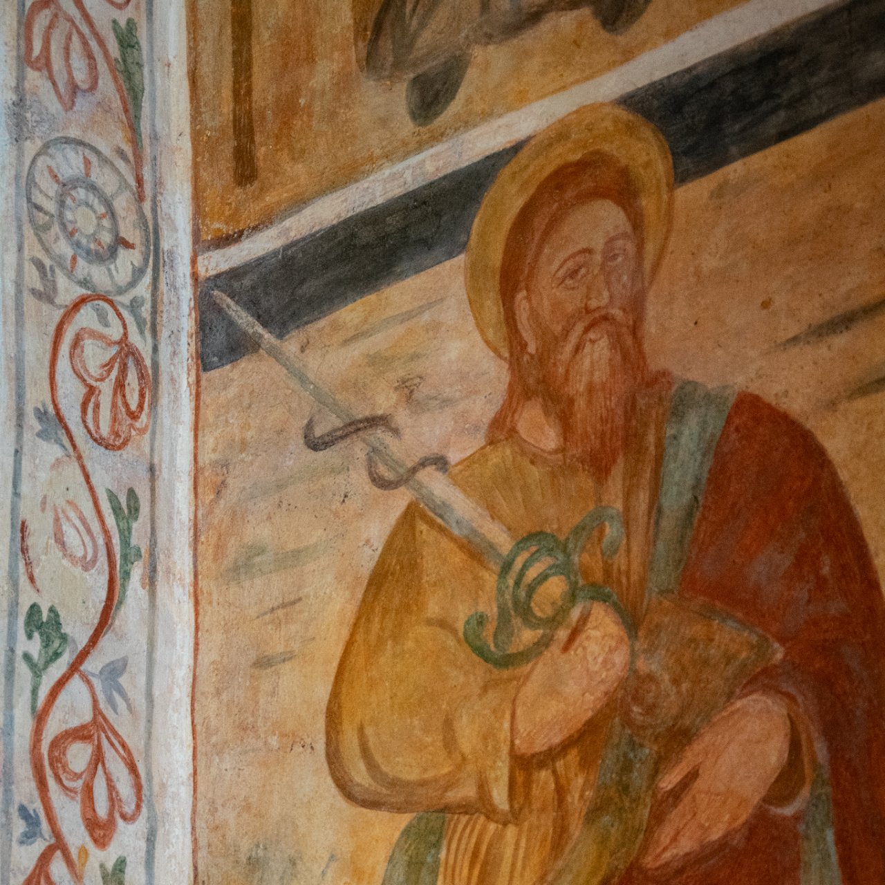
Vereto stood on a hill in southern Salento, in a commanding position close to the coast. Greek and Latin sources hand down several forms of its name, including Οὐερητόν and Veretum. Strabo suggests Vereto as a possible location of the Hyrie mentioned by Herodotus: an important hypothesis, open to several possible and intriguing explanations, all of which still need further study.
The area actually enclosed by the fortification — probably more than 60 hectares — cannot yet be established with certainty. The ashlar circuit wall, visible in stretches, appears to date between the very end of the 4th and the 3rd century BC. Sporadic finds point to the Bronze Age; occupation is more clearly documented from the Early Iron Age, followed by Messapian, Roman, Late Antique and medieval phases.
Vereto has yielded an important group of Messapian inscriptions, among the earliest in this language, including an abecedary, which shows that the town may have made a very significant contribution to adapting the Greek alphabet to the needs of the Messapian people. The small column of Sant'Andrea, datable between the second half of the 6th and the early 5th century BC, bears the retrograde Messapian inscription Fαρετι/vareti. The sequence may refer to the name of the place, but it has also been interpreted as a form of a personal name.
Patù
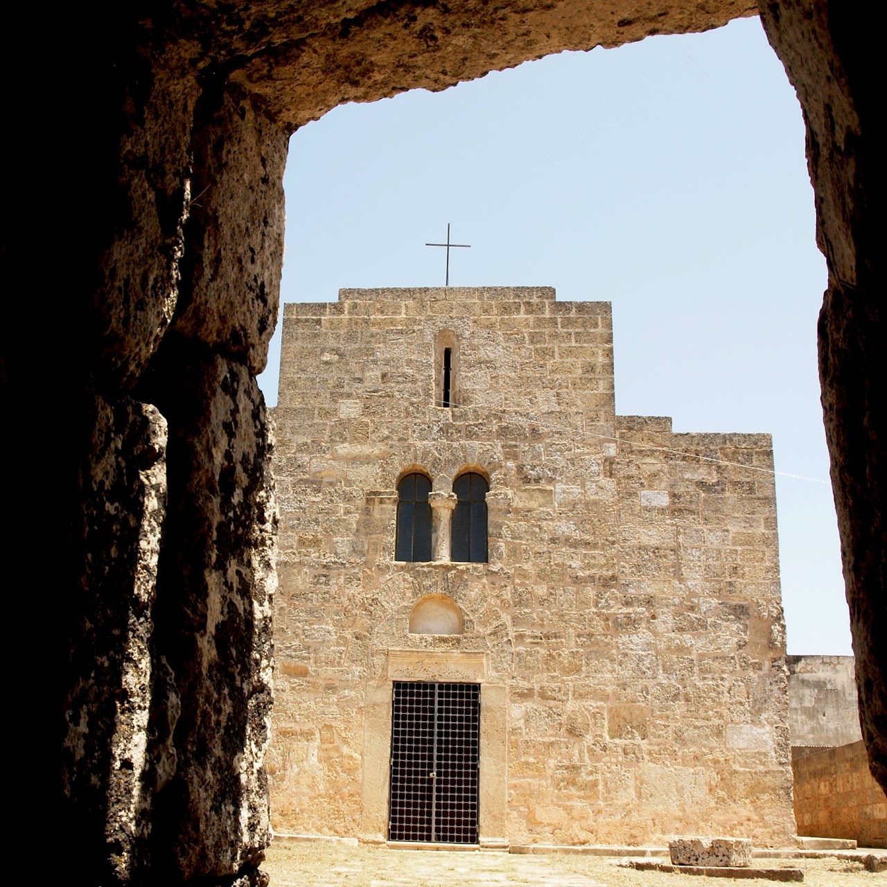
Patù preserves in its urban and rural landscape many traces of the long history of Vereto: reused materials, ancient routes, burial areas, medieval buildings and places of local memory.
Patù has held the title of city since 2004. Its most famous monument, the Centopietre, is now attributed to the medieval landscape of Campo Re: it reuses many ancient elements and preserves traces of Christian paintings, but its exact function and date remain to be clarified. The story linking it to Geminiano/Siminiano, to King Charles and to a battle against the Saracens belongs to local tradition and, although it has no historical confirmation, bears witness to the importance the monument acquired along the pilgrimage routes to the Sanctuary of Leuca from the Middle Ages onwards.
The Archaeological Museum of Vereto, in Palazzo Liborio Romano, offers a closer look at the finds and stories of the area.
San Gregorio and Leuca: the landing places of Vereto
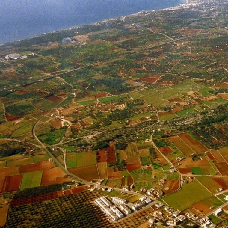
The Capo di Leuca was a landmark along the Ionian-Adriatic routes. At Punta Ristola the sanctuary took shape between the late 8th and the 7th century BC; from the 6th century the Grotta Porcinara became one of its focal points, with dedications and inscriptions that document the relationship between cult, navigation and visitors arriving from the sea.
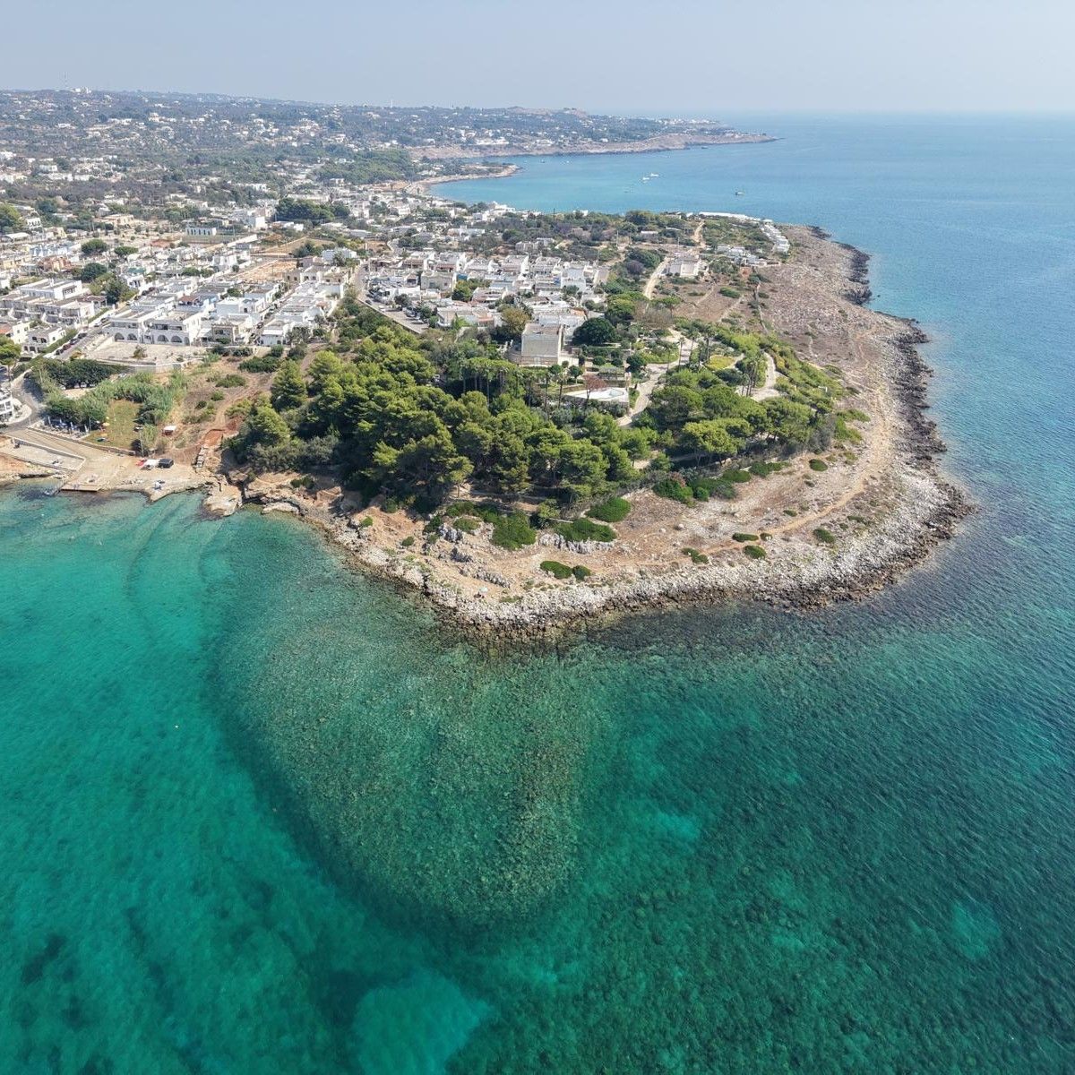
A few kilometres to the north, San Gregorio offered a sheltered bay and freshwater springs. The earliest archaeological evidence known today dates to the late 4th century BC; between the 3rd and 2nd centuries the landing place acquired a clearer infrastructure, with works on land and a submerged breakwater or mole.
Leuca and San Gregorio seem to have played different and complementary roles: the former with a strong religious and nautical dimension, the latter as a service and trading harbour. The second 2026 campaign of DiscoVereto extends the investigations to San Gregorio in order to clarify the chronology and form of the landing place and its relationship with Vereto.